
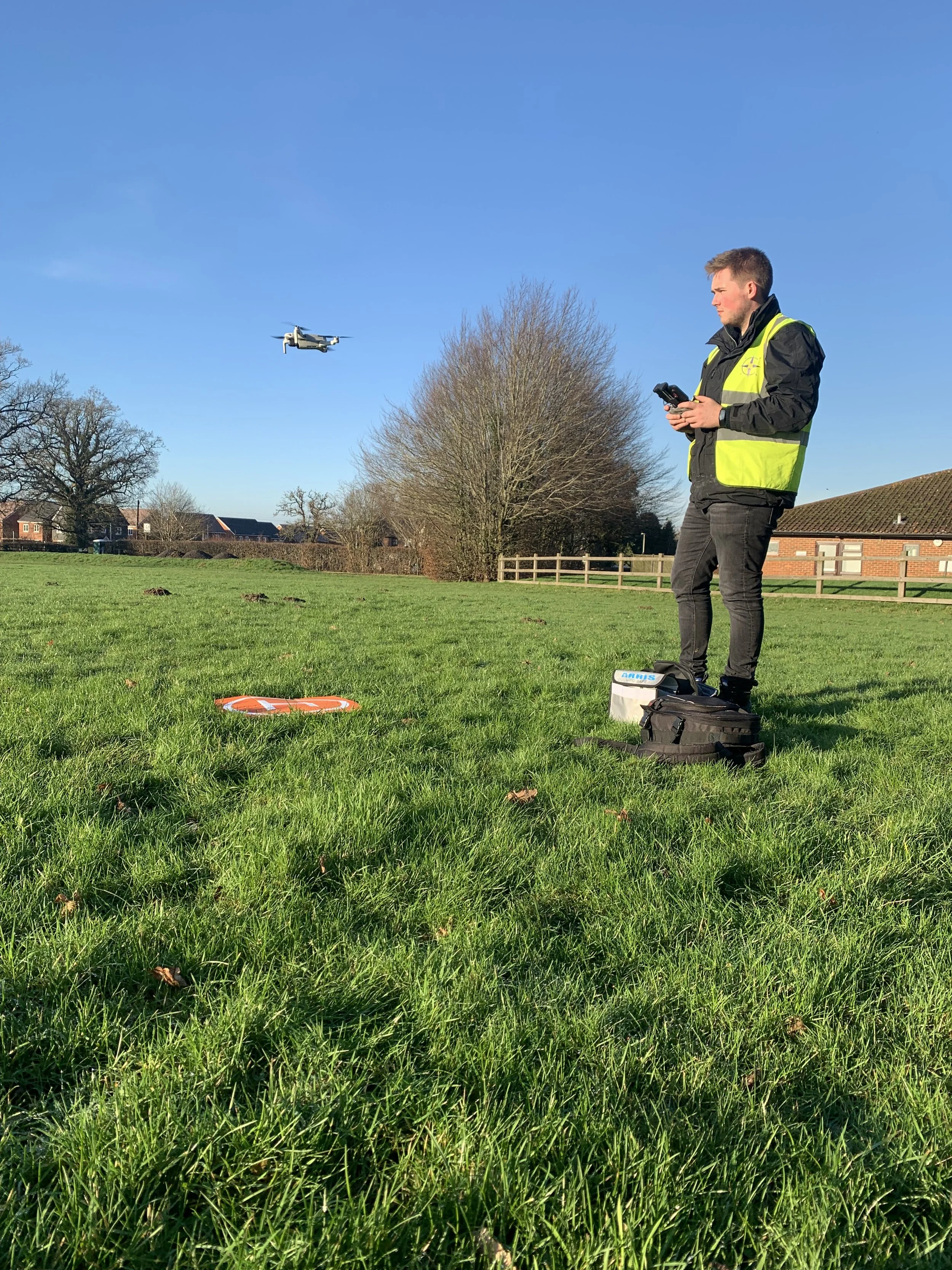
Compass drone surveys enable our clients to rapidly assess condition and damage to roofs and at height infrastructure in Ultra HD 4K imagery. A drone survey is faster, safer and more cost-effective than traditional manual surveillance methods. Within a matter of minutes, we are able to identify and target problem areas whilst removing the risk of personnel working at heights and reducing disruption to your operations. Our CAA qualified drone team is here to provide an eye in the sky for all your commercial and domestic needs.
Get in touch with us to see how we can help with:
Aerial Photography & Filming
Planned Preventative Maintenance Flights to monitor and assess condition of at height infrastructure
Roof Inspection and Surveys (Domestic and Commercial Properties)
Roof Water Drainage Inspection
Photogrammetry & Mapping
Benefits
No working at height
No expensive plant hire or scaffolding
Rapid deployment & instant reporting
High quality film and photography
No disruption to business operation and less intrusive
Cost effective
Able to collect high-definition imagery to be passed onto surveyors and structural engineers for review
Lightweight drone significantly reducing risk to personnel and property
“We had a leak on our flat roof causing problems in the classrooms below. Harry from Compass visited the same day as our enquiry and very quickly pinpointed the area of concern. All this without having to gain access to the roof and with no disruption to the school - thank you for your professional service and assistance!””
DRONE SURVEY FAQ’S
-
Drones are versatile in their deployment and can be used as a substitute for activities that may require personnel to work at heights eliminating all risks and delays associated with hiring in plant and obtaining permits to work at height.
-
A drone survey is great for gathering information quickly at minimal expense, this may be for a roof inspection/ survey or just to capture some aerial images of your site to record construction progress or to inspect damaged areas.
-
Before any drone flight takes place Compass ensure it is safe to fly within the area obtaining the required permissions for controlled air spaces and notifying other air users of our intention to fly. Most areas are clear for drone flights, however, there are some limitations around airports, MOD facilities and sensitive locations. If your site falls within the Flight Restriction Zone for one of these areas, it may not be possible to deploy a drone.
-
Compass fly a drone weighing <250g which allows us to fly in all CAA Open categories so we are able to fly in most places. However, If your site falls within the Flight Restriction Zone, it may not be possible to deploy a drone.
In addition, weather conditions on the day such as high winds and heavy rain will impact our ability to fly our drones.